
Walk a Graham Street by Address
A Graham by-address search works best when it begins with one complete address and expands one parcel at a time. The Pierce County Assessor-Treasurer identifies the tax account, while PublicGIS fixes that account on the map. Neither record proves who sleeps in the home. Together, though, they give a stable parcel number and legal description that can carry the search into deeds, permits, tax records, and older sources.
Keep the date and source beside each fact. A tax-roll owner, deed grantee, permit applicant, and directory householder may be four different people with four different roles.
- Enter the full site address in ATIP parcel search. Save the parcel number, situs address, owner or taxpayer label, and legal description shown.
- Open Pierce County PublicGIS. Find the same parcel, switch on the parcel and road layers, then click lots that share frontage.
- Check PALS by site address or parcel for permits, inspections, and code cases. Record the role attached to each name.
- Use the current owner and legal description in ARMS. Work backward through grantors and grantees instead of expecting a dependable street-address search.
- For earlier occupants, consult a reverse or criss-cross directory and preserve the printed road or postal label exactly as it appears.
Search Graham Parcels in ATIP
The Assessor-Treasurer's property information hub links Graham address searches to ATIP. The portal is free. Its dynamic screen can change, so no filter beyond the county-documented address, parcel, and owner routes should be assumed. The parcel number is the most useful result because street spelling and rural address form can vary between systems.
| ATIP route | Input | Use by street | Limit |
|---|---|---|---|
| Parcel account | Full parcel number | Bridge to GIS, PALS, tax, and deeds | Copy the exact ATIP format |
| Property address | Street and number | Find possible situs matches | Rural formats may vary |
| Owner or taxpayer | Name or entity | Cross-check parcels tied to a label | A trust or company may appear |
| Sales or property route | Portal option | May add transfer facts | Display varies by record |
A parcel card can include the situs, mailing destination, values, exemptions, tax status, sale facts, sketch, or legal-description link. Those are categories, not a promise that every Graham card shows every field. Never copy a private person's full card into a streetwide list.
Note: A ZIP-wide ATIP filter was not confirmed, so search Graham parcels by a verified address or parcel number.
Three Graham Street Address Identities
The line marked situs is the physical location of the parcel. A mailing or delivery address tells the county where to send tax notices. It may lead to another city, a lender, a trust, a business, or a tax service. The legal description identifies the land through a subdivision, lot and block, or metes and bounds. It is often the best bridge when a street name or number changed.
This distinction prevents a common Graham address-search error. A remote mailing address does not prove that the owner lives there, and it does not prove that the Graham parcel is empty. Likewise, an exemption flag is tax-program evidence, not a complete resident roll. Keep all three address identities in separate worksheet columns.
- Parcel
- A county tax and map account for a defined piece of land.
- Situs address
- The physical property address assigned to the site.
- Plat
- A recorded map that lays out lots, blocks, roads, or a subdivision.
- Criss-cross directory
- A historical directory arranged by street and number rather than only by surname.
Map Graham Streets in PublicGIS
PublicGIS adds the shape that a text record lacks. Search an address, pan to its road, turn on the parcel layer, and click polygons along the same frontage. County help describes road, parcel, school, political, public-safety, utility, environmental, zoning, and place-of-interest layers. Read each layer's metadata and date. An old boundary or utility line may answer a routing question, but neither identifies a household.
Graham's rural tracts need special care. One situs may cover several improvements, while a short plat, condominium, or parent tract can produce linked accounts. Adjacent parcels may fall in different school, fire, utility, or planning areas. The safe method is click-adjacent browsing, since the research did not confirm a named radius or buffer control.
The Graham Community Plan maps add land-use, sewer, water, wetland, volcanic-hazard, transport, historic-resource, and Thun Field context. They route a records question but do not name residents.
Graham Records Keyed by Street
No single Graham street index contains every person at every number. The useful record sets overlap around a parcel, but their labels have different meanings. A date-stamped coverage table keeps those limits clear.
| Record Set | Keeper | What It Shows | Access |
|---|---|---|---|
| Parcel card | Pierce Assessor-Treasurer | Taxpayer, situs, mailing address, values | ATIP or office request |
| Parcel map | Pierce County GIS | Road frontage, shape, adjoining parcels, districts | Free PublicGIS viewer |
| Recorded instrument | Pierce County Auditor | Parties, type, date, number, legal description | ARMS, counter, mail, archives |
| Permit or code case | Planning and Public Works | Applications, inspections, site dates | PALS or records request |
| Tax account | Pierce County Treasurer | Payment, delinquency, foreclosure route | Online tax pages or office |
| Voter extract | State or Pierce Elections | Permitted registration and district fields | Restricted request product |
| Historical directory | Libraries and archives | Dated address and householder clues | Volumes, scans, microfilm, staff |
The county Public Records page can route a request when a portal does not expose the needed permit or map record. Deed copies also have counter and mail paths. Pre-digital material may require the Auditor or Puget Sound Regional Branch of the State Archives.
Tax status has its own channel. The Pierce County Treasurer publishes tax-bill, delinquency, and foreclosure routes, while the Assessor maintains the valuation roll. A delinquent account says nothing by itself about occupancy. County foreclosure rules describe the account process, not a resident's identity, so retain the parcel number and tax year rather than turning the status into a claim about a household.
Graham Street Searches Need Names
The Auditor's ARMS recorded-document portal is built around parties, recording numbers and dates, document types, and a map path. It is not a reliable address index. Start with the parcel's current owner as a grantee, find the purchase deed, then search the seller as a prior grantee. Compare legal descriptions so a common name or another parcel does not enter the chain.
Online recorded-document coverage generally begins around 1984. Older work continues through Auditor index books, deed books, microfilm, office copies, and the State Archives general recordings index for 1888 through 1977. Archives staff need more than a street address. Send the parcel number, legal description, subdivision or lot and block, instrument type, date range, and party names when known.
The image below comes from the official Pierce County ARMS search.
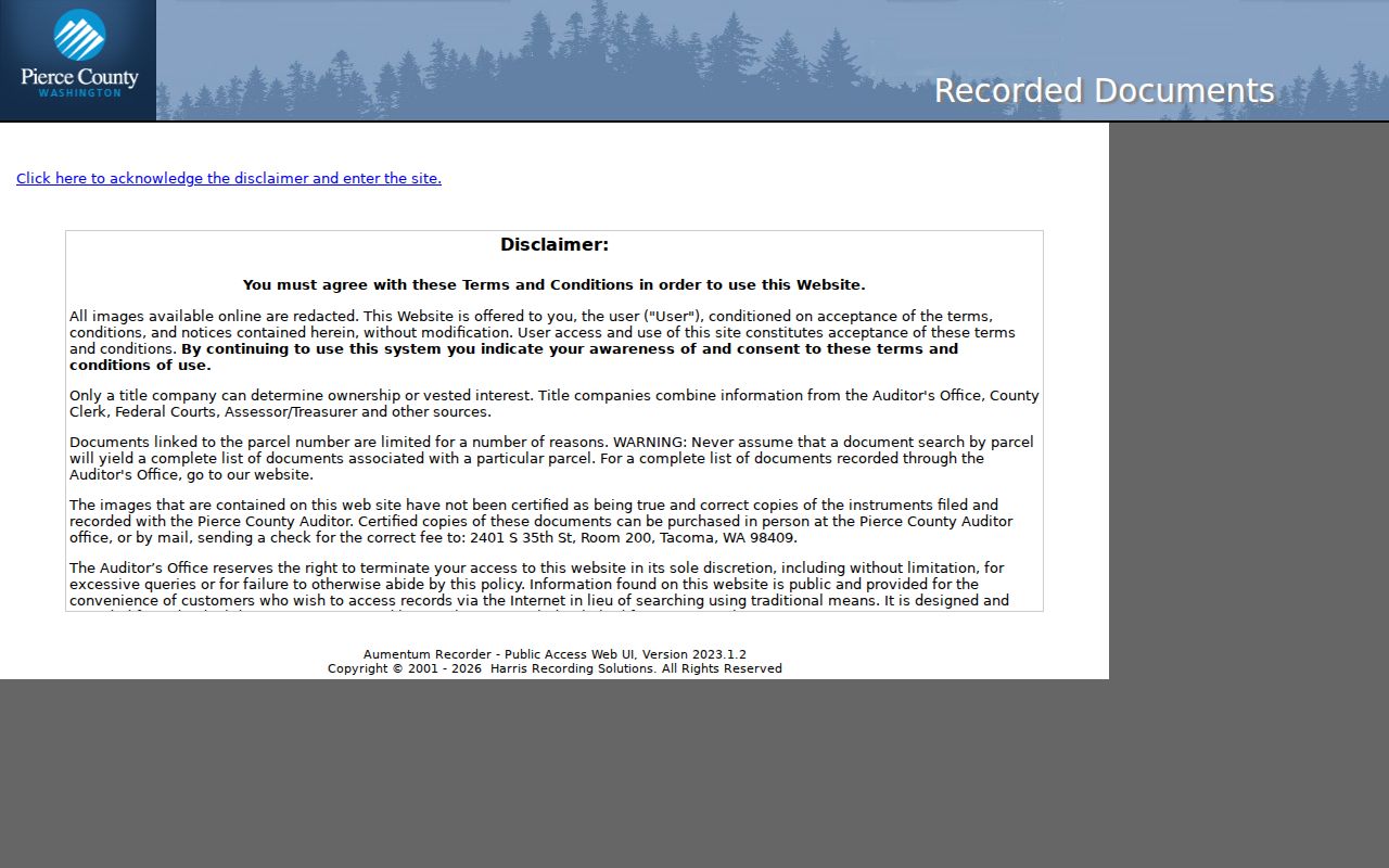
Its party-based interface shows why a parcel card and legal description should be collected before a deed search begins.
Graham Permits Mark Street Events
PALS can connect a Graham address or parcel to permit applications, inspections, land-use work, code cases, and documents. A dated permit may explain when a structure changed or why several site addresses appear. The portal's starting year and complete field list were not established, so an empty result should lead to a narrow county records request rather than a claim that no permit exists.
Names in a permit file need role labels. An applicant might be an owner, contractor, architect, or authorized agent. That person is not automatically a resident. Pair the permit date with the parcel and deed. Historical collection details belong on the Graham city directory page.
Graham Streets Use County E911
Graham is a Census-designated place, not an incorporated city. Pierce County assigns most local addresses through its unincorporated E911 grid, first adopted under Ordinance 84-152. The address is tied to a building permit. County materials list addressing contact Debra May at 253-798-3684.
A vacant parcel can receive an E911-only address that is not yet valid for mail. An association cannot create a USPS address, and a post-office box does not replace the situs or legal description. County Google geocoding updates monthly, but USPS remains the final source for delivery validity. This county-versus-postal split is a key Graham street-record quirk.
Note: No official source identified a Graham-wide street renaming year, so use plats and parcel geometry when an old address fails.
Voter Data Is Not Graham Directory
VoteWA is a voter's own account lookup using first name, last name, birth date, and verification controls. It is not a public name-to-address search and should not be treated as a street directory. Public voter data comes through state and county request products. Available categories can include releasable registration fields, precinct and district assignments, status, and participation history, but never ballot choices.
The Pierce Elections form can request districts, precincts, matchbacks, dates, or specified election history. It requires requester details, signature, and a political-only use acknowledgment. The form states five business days, prepayment, $5 per day for matchbacks, and $5 per district or precinct. RCW 29A.08.740 makes advertising or solicitation misuse a class C felony.
Older Graham Streets Change Labels
A historic Graham address may appear under a rural route, subdivision, nearby postal town, Tacoma suburb, or county label. Regional reverse directories can turn an old number into a householder clue, but coverage must be checked year by year. The entry is a dated snapshot, not proof that the same person stayed between volumes.
When the printed address no longer maps cleanly, preserve its wording and bridge through a plat, legal description, parcel geometry, deed date, census geography, or newspaper notice. Graham's unincorporated status explains why evidence is split among Pierce County, Tacoma-area, postal, and state collections.
The Puget Sound Regional Branch holds Pierce assessment rolls, school and census material, probate files, naturalizations, and recording indexes. Access depends on the series, and an index entry may not include an online image. Library staff and archive staff can help identify the right volume when a modern street search reaches a paper boundary.
Limits of a Graham Street Directory
Public address records do not create a complete household roster. Renters, children, guests, and other non-owner occupants may not appear. Utility customer lists and motor-vehicle addresses are not ordinary public people lists. Sealed records, protected voters, and Address Confidentiality Program participants receive added safeguards. A deed can name an entity, a parcel card can lag a transfer, and a directory can be out of date.
The sound Graham street directory result is a sourced parcel-and-record chain, not a copied list of private names. State the role, record date, and custodian. Leave unknown facts unknown.
Lawful use. Use Graham address records for lawful personal, family-history, property, or civic research. Never use them to stalk, harass, threaten, or expose a protected person.